“For the 30 percent of people who live in Baltimore without a car (which, coincidentally corresponds with the percentage of people between 16 and 64 not in the labor force), the pursuit of economic opportunity, particularly beyond the confines of downtown, comes with limitations.” In writing that for a Next City op-ed, “The Long Ride to a Just Baltimore,” Scot Spencer, associate director for advocacy and influence for The Annie E. Casey Foundation, tied jobs to transit planning.
San Francisco officials made a similar connection last year with the launch of a campaign to promote overnight transit service. As Next City reported, Todd Rufo, director of S.F.’s Office of Economic and Workforce Development, said a high portion of late-night transit riders are low- and moderate-income workers traveling between work and home, and that the late-night economy employs around 50,000 people.
Transportation equity (and the lack thereof) is an ongoing problem for cities from Atlanta to Seattle. Now, thanks to some nifty work by The Washington Post, people in the Washington, D.C., area can quickly see what inequity looks like — in shades of purple, teal and pink. It’s definitely worth exploring.
Using Mapzen Mobility Explorer (an application that uses open-source transit data), data from the Washington Metropolitan Area Transit Authority (WMATA) and the U.S. Census, and satellite imagery, the Post interactive published this week shows close to what you’d expect if you know much about how transportation systems tend to favor efficiency over access or, for that matter, the Anacostia River divide.
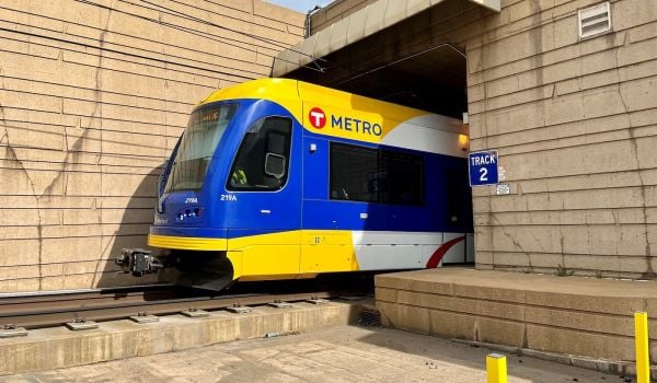
“Metrorail, buses and regional commuter rail create an elaborate network of transit accessibility for the region,” the paper reports. “But while several wealthier neighborhoods and suburbs have relatively easy access to job centers, many lower-income neighborhoods on the eastern side of the District and across the border in Maryland are more difficult to reach.”
One striking example: A person without a car working near the White House can keep their commute under an hour if they live in Gaithersburg, Maryland, or Reston, Virginia, both roughly 20 miles away. But if that same person lived only 7 miles away across the Anacostia and near the southern end of the district, their commute would probably take more than an hour. And an upcoming schedule tweak (Metro plans to change closing times for weekday service from midnight to 11:30 p.m.) is expected to particularly impact low-income, transit-reliant areas.
While D.C.’s maps show a smoother and faster ride to some of the wealthier suburbs, that’s not the case everywhere. As Clayton Lane, CEO for the Institute for Transportation and Development Policy, wrote in a 2016 op-ed for Next City, “Rapid Transit Is Key to Building Equitable Cities,” suburban poverty is another factor that planners need to consider when thinking about transportation equity.
It is … becoming clear that more and more, poverty is pushed out of the urban core and into the suburban neighborhoods. A recent report from the Brookings Institution found that the poor populations in U.S. suburbs grew faster than anywhere else, increasing 64 percent over the past 10 years. Similar trends have already emerged in most countries around the world. Without a corresponding increase in rapid transit access, the poverty in these areas becomes entrenched, as the lack of transportation limits access to jobs and education in other parts of the cities.
To see how “transportation poverty” has taken shape in Philadelphia, Houston, Seattle and other cities, see this Next City story. To see The Washington Post maps of D.C., click here.
Such data and maps are keenly relevant at a time when federal funding for transit projects around the U.S. is so in question. As Next City’s Josh Cohen reported in January in “How and When U.S. Transit Funding Could Change”:
Unsurprisingly, slashing federal funding would have a devastating long-term impact on local transit. “It would be massively disruptive and absolutely a job killer,” says Jon Orcutt, communications and advocacy director at urban mobility nonprofit TransitCenter.

Rachel Dovey is an award-winning freelance writer and former USC Annenberg fellow living at the northern tip of California’s Bay Area. She writes about infrastructure, water and climate change and has been published by Bust, Wired, Paste, SF Weekly, the East Bay Express and the North Bay Bohemian
Follow Rachel .(JavaScript must be enabled to view this email address)