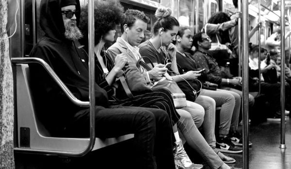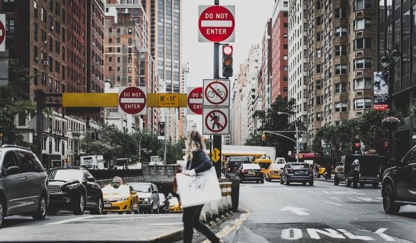
As more and more cities adopt Vision Zero initiatives, that means more and more researchers and civil servants must take to the streets, clipboards and clickers in hand, to study street designs, count pedestrians and otherwise analyze the built environment in which people walk.
Or do they?
A new spate of research and tools are making it possible for researchers to look at a city’s streets without leaving their chairs.
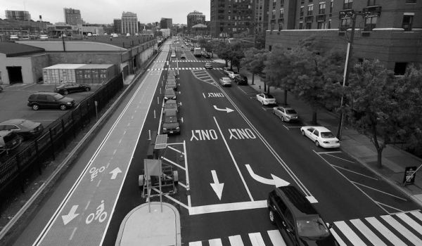
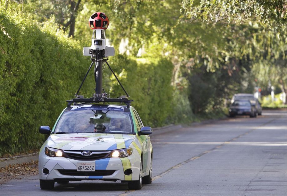
Case in point: A new study from Columbia University Mailman School of Public Health researchers looked at more than 500 streets in all five boroughs of New York using Google Street View. They found that Street View’s imagery was just as good as being there in real life — better, because it took a fraction of the time.
“The way the research is normally done … is hard to scale,” says Stephen Mooney, a graduate student in epidemiology at Columbia. “We were interested in seeing whether we could scale this research process using information technology.”
And scale they did. A previous survey of 850 intersections in California and Washington State would have taken one person three years, Mooney said in a statement about the study. Doing the same thing with Street View would have taken a month.
In addition to using Street View, Mooney and the other researchers used a few other shortcuts. Instead of counting pedestrians, they used a model that they’d built (and previously tested) to predict where pedestrians would be. Instead of counting cars, they used maps and city data to determine where the cars would be. (Mooney says he recently got some more detailed traffic counts from the city of New York and is working to see if it can be integrated into a more sophisticated model.)
This is not the first example of using technology to speed up street surveys. The same app used to gather data for this project, CANVAS (Computer Assisted Neighborhood Visual Assessment System), has been used to study streets for graffiti, litter and other “disorder” in Washington, D.C., Philadelphia, Detroit, San Jose and New York City. (Mooney actually built the app as he has a background as a computer programmer.)
And it certainly won’t be the last. Mooney mentions a New York-based startup called Placemeter, which sells small, window-mounted cameras to retailers, business improvement districts and developers. (The cameras have an artificial intelligence algorithm that can learn when people are walking by, which could be valuable data on how and when people use a given block.) Other researchers Mooney knows are training traffic cameras to count the pedestrians in their “peripheral” vision.
There may even be an easier way. The pedestrian-count model that Mooney and the other Columbia researchers used has been compared against actual pedestrian counts, but because it relies on the presence or absence of an MTA subway station as one of the factors in the model, it probably can’t be reliably used elsewhere in the country. But Mooney found another data source that correlated pretty well with the model: Walkscore.com. “We got essentially similar results [comparing the model to Walkscore], within the margin of error,” he says. Since that company has already established walkability metrics in the U.S., why not use it?
There’s one obvious drawback to this kind of work. “The first 10 to 20 streets you do are kind of fun,” Mooney says. “You have this sense of travel, of learning about a new space without the hassle of getting there.” But soon the work gets more and more boring. So even if someone could survey 850 intersections in a month, would they want to? The answer may be no. Mooney and other researchers are looking into ways of distributing the work. Community groups interested in pedestrian safety would likely be willing to chip in and voluntarily inspect sites on Street View; paid crowdsourcing a la Amazon’s Mechanical Turk is another option.
Whatever the case, CANVAS and other tech like it is making it possible for more and more research into street design and pedestrian safety.
Whether that research gets done, of course, depends on funding — or whether, as Mooney says, “if the sort of recent fad of caring about whether people are getting run over turns out to be a passing fad.”
The Works is made possible with the support of the Surdna Foundation.
Rachel Kaufman is Next City's senior editor, responsible for our daily journalism. She was a longtime Next City freelance writer and editor before coming on staff full-time. She has covered transportation, sustainability, science and tech. Her writing has appeared in Inc., National Geographic News, Scientific American and other outlets.
Follow Rachel .(JavaScript must be enabled to view this email address)