The scientific consensus is that the world will soon realize the dreaded 1.5°C increase, a milestone experts have long believed to be a tipping point in climate change. We often hear about global warming in the context of rising sea levels, droughts, wildfires and other extreme weather events – such as floods and hurricanes.
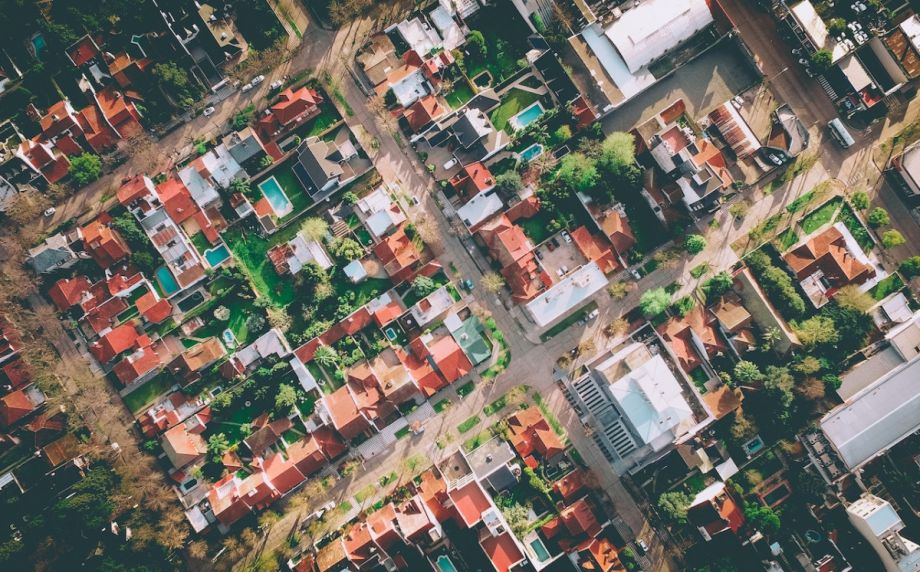
There’s another phenomenon that’s increasingly on the front line of climate change: urban heat islands.
Urban heat islands are areas significantly warmer than their surroundings, a consequence of city landscapes replacing natural ones and adversely impacting public health and well-being. A recent study that appeared in the Lancet Health Journal established a direct link between urban heat islands and a significant portion of summer deaths across 93 European cities. Crucially, it also presented a potent countermeasure: increasing urban tree coverage to roughly 30%, an achievable goal with many associated benefits, researchers found, could reduce heat-related deaths by a third.
Trees are an effective and natural way to mitigate the effects of climate change because, according to the EPA, shaded surfaces can be up to 45°F cooler than peak temperatures of unshaded surfaces. Trees taper energy use by providing shade, enhance air quality by absorbing carbon dioxide and emitting oxygen, and reduce noise in urban environments. They can also reduce the risk of flooding and erosion: Their canopies and foliage capture and slow down rainwater, and tree roots absorb and filter water, promoting groundwater recharge and reducing the strain of stormwater drainage systems.
The study also estimates increasing tree coverage to 30% could lower temperatures in cities by an average of 0.4°C. To leverage the full potential of urban trees, we need to start with an accurate inventory or tree mapping.
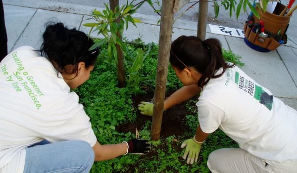
The New Orleans-based nonprofit Soul NOLA recently released a reforestation plan that shows less than 19% of the city is shaded by trees since Hurricane Katrina. A 2021 report by Climate Central found New Orleans to be the most intense urban heat island in America, significantly higher than second-place Newark, New Jersey.
The SOUL NOLA plan revealed that the city has managed to inventory all municipally-owned trees, but a complete account of all trees in New Orleans, including those on private property, remains elusive. A full representation of a tree canopy is critical to developing a reforestation strategy.
Existing methods like satellite or aerial surveys offer a bird’s-eye view of tree coverage but lack the necessary detail. These methods wouldn’t, for example, capture the intricate relationship between trees and power lines — a factor that led to a multi-day blackout in Austin, Texas, in February.
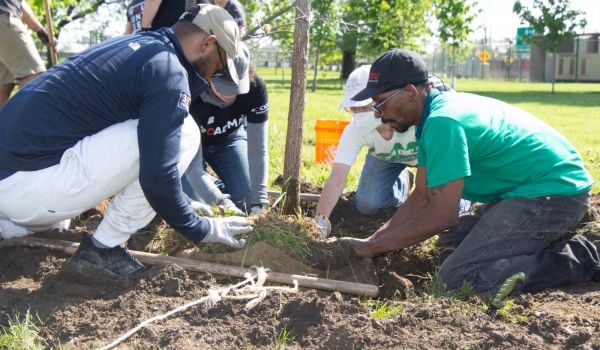
A ground-based approach helps create a comprehensive inventory of trees and provides greater context. Crews on the ground can determine how trees interact with their surroundings, like other wildlife or buildings, their species, and their health.
Tree health is crucial because, just like humans, trees require regular check-ups. An ailing or dead tree can pose risks to power lines, nearby buildings and residents, making an environmental asset a liability instead. Furthermore, ground-level data, with its precise measurements of trees and their surrounding infrastructure, can guide efficient urban planning in tight spaces, preventing incidents like the Austin blackout.
In Mendoza, Argentina, the local government wanted to enhance ongoing road and sidewalk maintenance. It commissioned a digital twin that included the trees, since tree shade can suppress pavement deterioration. Crews used mobile mapping technology to understand the size of the tree canopy.
They captured over two million images and processed more than 6,000 linear kilometers of mobile service to individually identify all the trees based on their dimensions and dendrometric attributes. The tree analysis was fed into the digital twin, which was accurate to within centimeters and decreased maintenance costs by 38%.
Tree mapping can enlighten the public, too. In New York City, nearly 862,000 trees were mapped across all five boroughs of the concrete jungle. An interactive tool using the map’s data allows passersby to report tree conditions. It calculates the total annual benefits of the trees at nearly $129 million, with energy conservation providing nearly $103 million of the value.
As the fight against urban heat islands and broader climate change escalates, we must prioritize comprehensive tree mapping in our urban greening strategies. A ground-based approach ensures optimal tree health and placement are part of the equation, thereby maximizing the benefits of urban trees. This approach also provides the context to inform where new trees should be planted so urban tree canopies can expand and protect the most vulnerable surfaces and structures.
Climate change’s acceleration increases the urgency to find new and significant sustainable solutions. Tree mapping is an underutilized tool, particularly in urban environments, and one we can use to slow the effects of a warming planet. It allows us to enhance the well-being of city dwellers and increase the resilience of urban landscapes. The path toward a cooler, safer and healthier future includes accounting and caring for each tree we have.
Rodrigo Fernandes is the director of Empowering Sustainable Development Goals at infrastructure software firm Bentley Systems.
_600_350_80_s_c1.JPEG)