A few weeks ago, Next American City launched Issue 25 with a party in our Philadelphia offices, and we were thrilled to feature a presentation by Aaron Ogle, creator of the website Walkshed. His site is a lot like the increasingly popular Walk Score, which is catching on among homebuyers, residents and tourists who want to know how “walkable” their neighborhoods are (both sites were inspired by the work of Alan Durning at the Sightline Institute).
Ogle is a software engineer at Avencia, a GIS (geographic information systems) software development firm specializing in web-based analysis, mapping, and modeling. Avencia employees are allowed and encouraged to use ten percent of their time at work on a research project of their own. Ogle, who professed a long-held interest in Durning’s concept of a “walkshed,” was inspired by the fact that Walk Score had finally figured out how to calculate and visualize walkability, but wondered if he might be able to get even more specific.
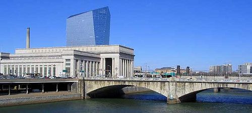
The main thing Ogle sought to visualize is “walking friction”: Basically, a park is much easier to cross than a freeway, so he makes this clear through color on his maps. For example, I know from Walk Score that my neighborhood in Center City Philadelphia is a “Walker’s Paradise,” a 100-out-of-100 wonderland of restaurants, parks, transit stops and grocery stores. But Walkshed puts my score a a bit lower, and it’s easy to see why: When I pull up the color-graded map of the area surrounding my house, I see mostly green (walkable streets) but a vast strip of red only a block from my doorstep, representing a barrier I know quite well: the Schuykill River, and also the highway and train tracks that run alongside it. And it’s true: I rarely walk across the river to get to the restaurants, parks and businesses over there because it’s such a hassle. Walk Score doesn’t acknowledge that freeways and bodies of water can make walking harder.
Walkshed also has many of the amenity and livability features that Walk Score has, and expands on them. For example, if you know you love restaurants and bars, you can adjust the map so it identifies areas in which it’s easiest to walk to these destinations. You can also prioritize bus stops, parks, libraries, pharmacies — and you can steer clear of a host of not-so-desirable things, like illicit activities and violent crime.
Ogle isn’t out to take down his predecessors: Walk Score has acknowledged its (minor) deficiencies, and Ogle calls it a “fantastic application” and obviously derived much of his work from it. And Walkshed right now has one major limitation of its own: It’s only for New York and Philadelphia. (For now.)

