Anyone who listened to “Serial,” Sarah Koenig’s viral podcast about a murder investigation and trial, will remember this: Cellphone records don’t necessarily pinpoint location with ease. Coverage boundaries are both ragged and convergent, and geolocating a phone call with cell tower data is tricky.
But if you’re moving at 30 miles per hour, communicating with one tower after another, it gets easier. Over the last decade, wireless carriers, researchers and data companies have developed techniques to map tower data back onto roadways. Clusters of cellphone transmissions at towers can be reformatted as live traffic maps.
In January for this column, I wondered whether consumers would willingly share personal GPS data — as they do with the navigational app Waze — in exchange for better information or as a contribution to public knowledge. For the large-scale commuting picture, it may not be necessary: A vast flow of passive data transmission is revealing human movement across cities.
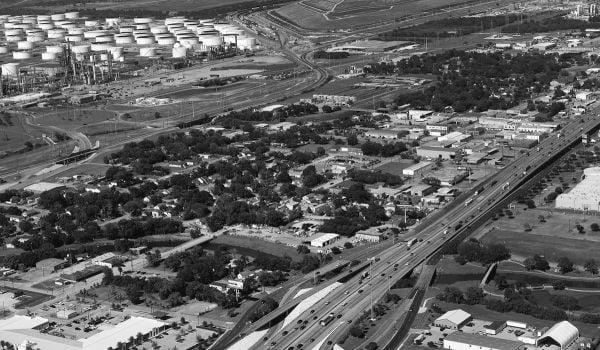
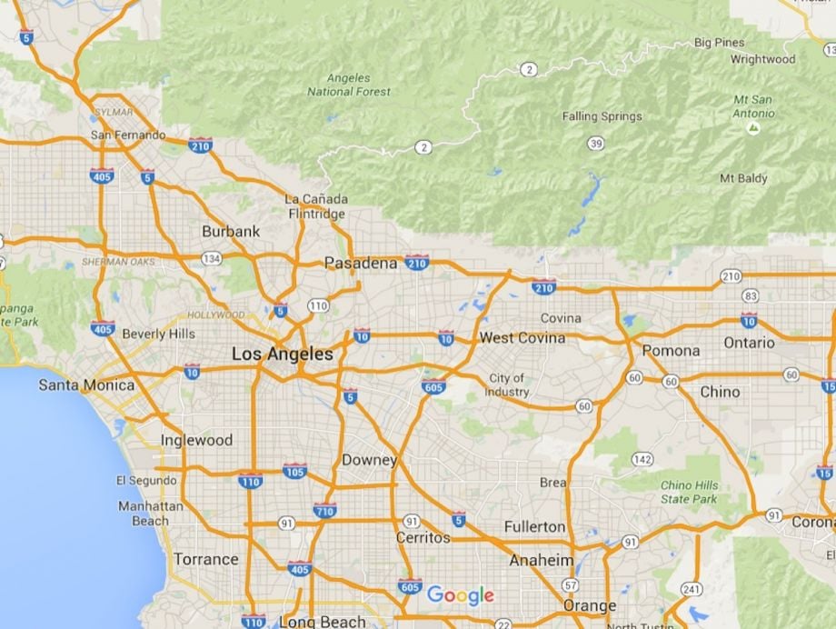
East of Los Angeles, that technology is feeding a pilot “Connected Corridors” project on Interstate 210. It’s part of a larger federal effort called “Integrated Corridor Management,” urging state organizations to manage busy routes as multimodal channels. On I-210, Caltrans, LA Metro and UC Berkeley will consider transportation as a problem to be solved among freeways, arterials, trains, buses and parking. The idea is to develop a template that can extend to busy paths throughout the nation’s largest state.
The potential of cell data to reveal traffic patterns is more than a decade old: AirSage, a company that packages cell carrier data for planning and transportation departments, among other clients, has been around since 2000. But Berkeley researchers say their highly detailed modeling allows them to simulate specific scenarios with great accuracy, and answer in advance the kind of particular questions that will confront traffic engineers.
Rarely do balkanized regional authorities — who often have competing financial interests — come together and tackle congestion as a collective problem. Nick Compin, a project manager for Connected Corridors in California, is overseeing the stretch of I-210 that’s under study. “The question came to us: How do you use all the capacity, roadway and transit capacity, that’s in a corridor? That’s something brand new: It’s not ours, theirs, yours. It doesn’t matter to the public who owns what, they just want to know what they can use to get where they want to go.”
To figure out who is moving where, Caltrans gets data from a variety of sources. Cell tower data, says Chris Volinsky, an assistant vice president at AT&T Labs, can place someone within a few city blocks — useless for pedestrian counts or granular traffic data, but perfectly sufficient to determine regional commuting patterns. “When somebody is traveling on a road, what we observe is the device being handed from tower to tower, and based on that sequence we can infer speed, and from speed we can infer what road they might be on.”
While that data is anonymous, it can show where trips begin and end — invaluable data for planners that could otherwise only be gleaned from household surveys. “That’s kind of the Holy Grail of planning,” says Compin.
The end result, he says, would be kind of like a gargantuan football playbook. (In 2013, there were over 6,000 incidents along this stretch of the 210 and in the neighboring territory.) “Everyone has to agree to a what-if scenario,” explains Compin. “If there are two lanes blocked on the Eastbound 210 at 5 p.m., what do you do?”
In such a scenario, for example, drivers turn en masse onto the parallel arterial roads, and the jam oozes off the 210 and into the rest of the corridor. With Connected Corridors, Caltrans envisions being able to adjust stoplights on the arterials to maximize traffic flow in such a situation, using north-south traffic to absorb the delay.
And that is only the simplest of procedures: In reality, connected planning could also use data-based driving projections to adjust train schedules, and reach out to car commuters with rail alternatives. Or raise or lower parking prices to shift traffic patterns. Or run express buses at new frequencies in response to predicted scenarios.
Those operations all fall under the umbrella of regional transportation, but they don’t usually work together. But as Compin says, commuters don’t know or care who runs what.
“They don’t care,” he observes. “So we got to thinking, we shouldn’t care either.”
The Science of Cities column is made possible with the support of the John D. and Catherine T. MacArthur Foundation.

Henry Grabar is a senior editor at Urban Omnibus, the magazine of The Architectural League of New York. His work has also appeared in Cultural Geographies, the Atlantic, The Wall Street Journal and elsewhere. You can read more of his writing here.
Follow Henry .(JavaScript must be enabled to view this email address)