The webcomic xkcd — that repository of deadpanning stick figures responsible for such memorable lines as “someone is wrong on the Internet” — today came out with a graphic that’s sure to make public transit fans swoon.
This map depicts all of the subway systems in North America as if they were linked. You can see pretty faithful representations of local heavy rail lines stretching from Montreal on down to Santo Domingo and Mexico City, over to Los Angeles and back up to Vancouver.
Between the real-life transit systems are a handful of inter-city fantasy lines, and here is where the jokes abound: The “Puerto Rico Submarine” taking us from the South Ferry subway stop in New York to San Juan; an apparent extension of Philadelphia’s Trolley Route 10 to Southern California; the “Robert Moses High-Speed Line” connecting Northeast cities in ways that the Power Broker probably wouldn’t have delighted in. There’s even a Simpsons allusion with a shout-out to the Springfield Monorail.
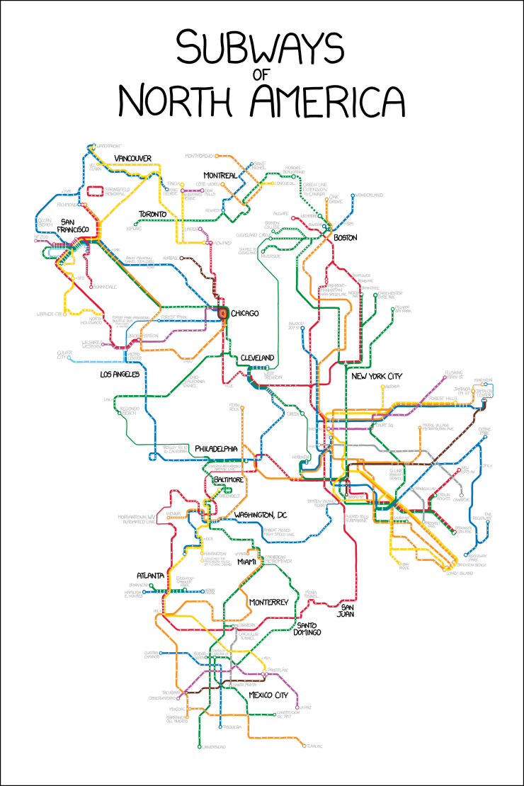
See a larger, more readable version of the map.
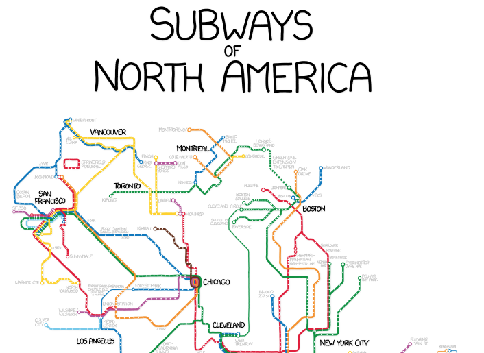
As our friends over at Greater Greater Washington have pointed out, the idea for the graphic might have come from this similar but harder-to-read map that appeared on the blog BeyondDC last month.