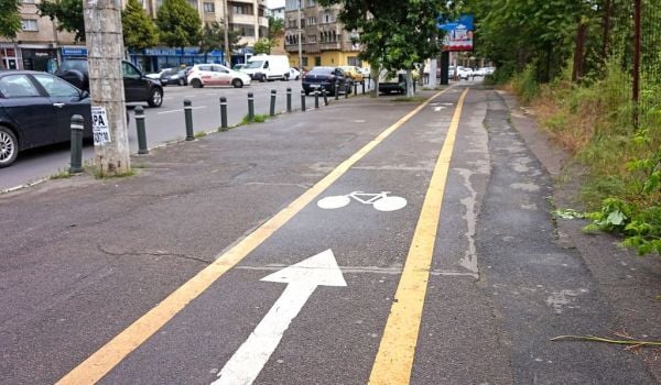
If you’re a cyclist, they’re the spots you dread, where your lane suddenly ends and you’re forced to veer into traffic and hope that you don’t die. And in many cities they’re all too common according to a Washington Post article that went viral earlier this month, showing bike lane grids in Washington D.C., Boston, Seattle and Miami that look like images from a partially erased Etch A Sketch.
“How hard is it to get across U.S. cities using only bike lanes?” the article’s title asks, and judging by the maps, the answer is “pretty darn hard.”
“It’s at least entertaining to envision possible scenarios for why this may have happened,” Emily Badger and Christopher Ingraham wrote, referring to one particularly vexing lane on their own Washington, D.C., commute. “The city ran out of bike-lane paint. Or maybe the crew that striped the lane became suddenly incapacitated or distracted. Maybe they took a lunch break … during which it started to pour and so no one could finish the job.”
Maybe — but more likely it had something to do with zoning, or funds, or neighborhood opposition, or the ever-present political battle over street space.
As a complement to those maps (and because I like to get nerdy about disjointed walkways and bikeways), I asked several people familiar with the grids why it’s so hard to get across U.S. cities using only bike lanes. Yes, there’s the obvious our-nation-is-built-for-cars response, but those maps display four areas with dedicated bike/ped plans (and funds) that are busily respiring streets. So why not follow well-traveled routes start to finish? Or even start at the center and move out? Why the fragmented, piecemeal approach?
“The more cynical answer is that cities start with the easy bits and implement bike projects that are on roads with loads of room, or don’t involve taking away parking or a travel lane,” writes Andy Clarke, League of American Bicyclists president, in an email.
“That’s not necessarily a bad thing — it’s quite tactical, especially when a city is just getting started,” he adds. “The more pragmatic response is that you’ve got to get started somewhere and eventually the system connects.”
Gregory Billing, advocacy coordinator for the Washington Area Bicyclist Association, draws similar conclusions from the capital’s network.
“The city really began planning and implementing bike infrastructure in earnest around 2005, 2006, when they passed a bike master plan that outlined the dream network,” he says. “As opportunities to resurface, reconstruct or retrofit existing roads arose, lines got drawn on the map.”
Often, however, planners gave a more ready OK to lanes on roads already scheduled for maintenance or repaving.
“Which means there are a lot of gaps,” he says. “The city doesn’t do whole sections, it does parts.”
And some of those gaps mark political battles, he adds, citing 14th Street, which is visible on the map.
“There’s four to five blocks missing, and that gap has been there for five years,” he says. “It requires taking away a lane of traffic.”
Seattle Department of Transportation, which provided a written response through communications liaison Norm Mah, adds that the maps don’t tell the whole story because they don’t show “neighborhood greenways.”
“Neighborhood Greenways are a key piece of our planned citywide bike network,” according to their statement. “In fact, 41 percent of our total network will be greenways. Neighborhood Greenways are residential streets calmed to 20 mph, with traffic safety improvements to get across busy streets and good wayfinding along the routes.”
But Seattle is also a newer city, which means the road network is already fractured. According to Clarke, Seattle and Miami were both built, at least partly, on suburban land use patterns: cul-de-sacs and dead ends that break up the grid and wide, multi-lane streets hostile to walkers and bikers alike.
“With a city as relatively small and compact as Boston, you can create a more complete network faster — although you get more quickly into the tougher and more contentious projects,” he writes.
And according to Billing, that contention has slowed D.C.‘s re-striping momentum. Because the city has put so many roads on “diets,” some planners and engineers believe the multimodal throughways need to go through a more thorough public process and environmental review. The old “increased emissions from slowed vehicles” argument is also rearing its ugly head.
But from a national vantage point, Clarke also sees positive strides in the area of connectivity.
“[T]he biggest, newest trend in bike planning is the kind of gap-analysis that looks very specifically at identifying those short connections (that may be relatively quite difficult and/or expensive),” he writes, adding that planners in this school of thought look at syncing up “key pieces of the network to the quiet residential street systems that exist beyond those barriers.”
“Cities such as San Jose have pioneered this approach,” he adds, “and I think it has a lot of promise in focusing scarce resources and political capital on those projects that will really make the biggest difference.”
The Works is made possible with the support of the Surdna Foundation.

Rachel Dovey is an award-winning freelance writer and former USC Annenberg fellow living at the northern tip of California’s Bay Area. She writes about infrastructure, water and climate change and has been published by Bust, Wired, Paste, SF Weekly, the East Bay Express and the North Bay Bohemian
Follow Rachel .(JavaScript must be enabled to view this email address)