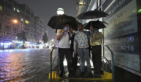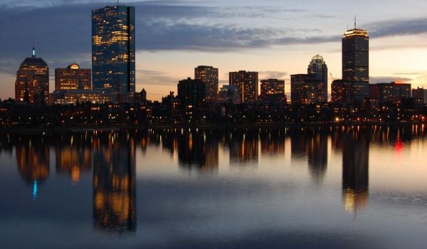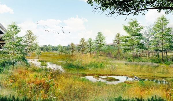
Last fall, the Urban Land Institute of Boston/New England released wake-up-call projections of what some Boston neighborhoods could look like by the end of the century thanks to rising sea levels. Some areas in New England are expected to see water rising up to four times faster than the rest of the world, and cities like Boston are already dealing with increased flood damage in the aftermath of severe storms.
The ULI report also included some arresting renderings of design solutions for the city’s watery future. There was a dreamy canal system. A pretty dune park. But eye-catching concepts are just the beginning — and this week, Boston Mayor Marty Walsh asked city agencies to take a hard look at the less sexy aspects of adapting for resilience like bureaucracy and zoning.
The Boston Globe reports:
City officials say the mayor has directed the Boston Redevelopment Authority and the city’s environmental services and inspectional services divisions to reduce the red tape involved with building or modifying a structure if it’s for the purpose of making it less prone to flood damage.
Walsh hasn’t said what exactly the changes will involve, but the agencies will be rethinking everything from height restrictions to placement of mechanical systems in pursuit of flood-resilient buildings.
From the Globe:
Among the ideas being considered: measuring the height of a building from the top of a flood-proof level or from the top of an earth berm built to protect the property. In other words, a certain amount of “flood resistant” footage wouldn’t be counted against a building’s height limit.
Marielle Mondon is an editor and freelance journalist in Philadelphia. Her work has appeared in Philadelphia City Paper, Wild Magazine, and PolicyMic. She previously reported on communities in Northern Manhattan while earning an M.S. in journalism from Columbia University.
Follow Marielle .(JavaScript must be enabled to view this email address)