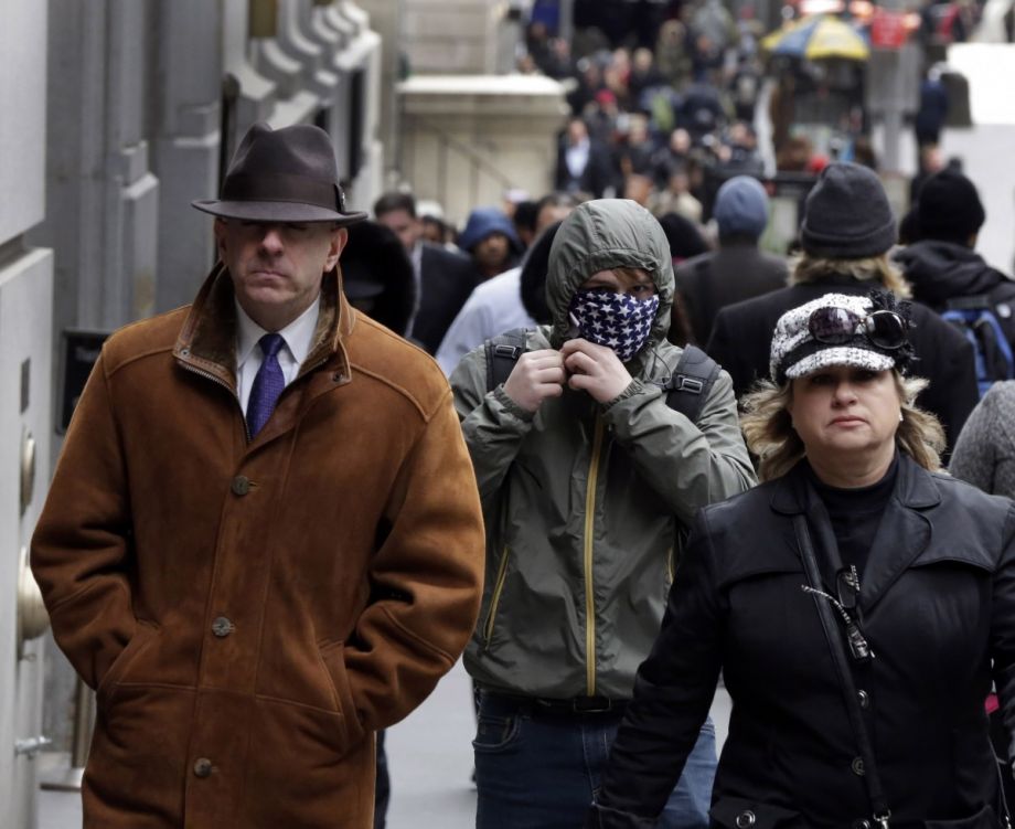
Catherine McVay Hughes has been living in lower Manhattan for nearly three decades. When she was raising her children, it was something of an anomaly to push a stroller among the office towers and government buildings that dominated the neighborhoods. But over the last 15 years there’s been a shift as residential buildings have replaced some commercial spaces and the number of residents has nearly doubled from 34,420 in 2000 to its current 69,500. Hughes says families are now commonplace and the neighborhood is no longer a ghost town after offices close for the day.
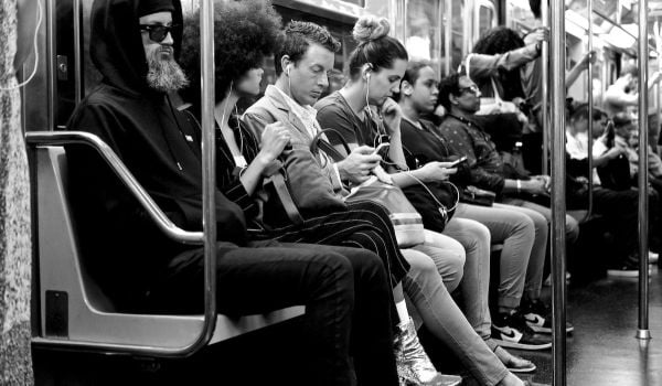
And while that influx has helped make the neighborhood the sort of lively place that families want to live in and tourists want to visit, it’s also making the streets and sidewalks a little crowded. As chair of Manhattan Community Board 1 — a government advisory board representing Tribeca, Seaport/Civic Center, Battery Park City and the Financial District — Hughes wants to figure out how to better use public space to maintain a healthy pedestrian environment for those stroller-pushing families, tourists and workers.
The latest step in that effort was a granular study of the sidewalks in CB1’s four neighborhoods. “Streetscape Study of Lower Manhattan” was completed in two phases. For the first, a team of Pace University students did an inventory of sidewalks in the four neighborhoods, documenting 18 permanent sidewalk features — benches, phone booths, subway entrances, bus stops, street trees, newsstands, trash cans, etc. — to determine what’s enhancing the pedestrian environment and what’s hindering mobility. For the second phase, they distributed surveys to residents and passersby asking what the biggest sidewalk hindrances were and what they most wanted improved.
In the end, they found nearly 7,000 sidewalk features throughout the survey area. According to Cammie Flippen, who was CB1’s planning fellow for the past year and led the streetscape study, there weren’t any major surprises in the data collected. Battery Park City and the Financial District have the highest concentration of benches, while Seaport and Tribeca don’t have enough. Bike racks are dispersed unevenly throughout the area. The Financial District has perhaps too much signage. Trash cans and recycling bins are rarely found on the same corner.
The priorities highlighted in the phase two survey, however, did contain a few surprises. Flippen expected construction to be the number one complaint. Instead, people said trash cans were the biggest obstacle, followed by bus stops and subway entrances.
“There hasn’t been a lot of action on the pedestrian environment in lower Manhattan. It’s been very incremental and piecemeal. After doing this study, you really see a need to think about this holistically and think about how to integrate features together to reduce the number of them on the street,” Flippen explains.
She says, for example, combining signage onto fewer signposts could free up space on crowded sidewalks. Or, in the Financial District where there are still 98 pay phones, the city could start removing the outdated technology.
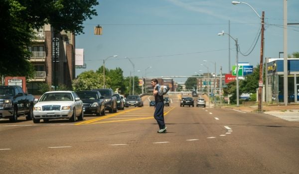
Of course, in the limited right of way of city streets, the space taken by lampposts and trash cans and bike racks pales in comparison with the space occupied by cars.
“It’s really controversial in that part of Manhattan to think about widening sidewalks or using part of the street to give more space to pedestrians. The pushback from the community really is we can’t take out any of these carways. But I think there needs to be a shift in thinking,” says Flippen.
The public plaza program in other parts of the city gives her hope that perhaps lower Manhattan could someday get on board with providing pedestrians with a little more breathing room.
“The DOT used curb extensions and traffic calming with planters and other things to expand sidewalks until the community can decide if it’s something they want permanently,” Flippen explains. “Still, I don’t know if lower Manhattan can do this. The streets are so narrow as they are now.”
Hughes says CB1 is planning to use its streetscape report to push the city into doing a more robust study of sidewalk quality, width and temporary obstacles such as construction scaffolding and trash. Ultimately they want the city to produce a comprehensive lower Manhattan mobility plan that includes transit stop reconfiguration, new signage and wayfinding, wider sidewalks and more.
“This is our public domain,” Hughes says. “We’re rallying to make sure a study can be done of our sidewalks and our streets so that they can be reclaimed by the everyday person.”
The Works is made possible with the support of the Surdna Foundation.

Josh Cohen is Crosscut’s city reporter covering Seattle government, politics and the issues that shape life in the city.
Follow Josh .(JavaScript must be enabled to view this email address)