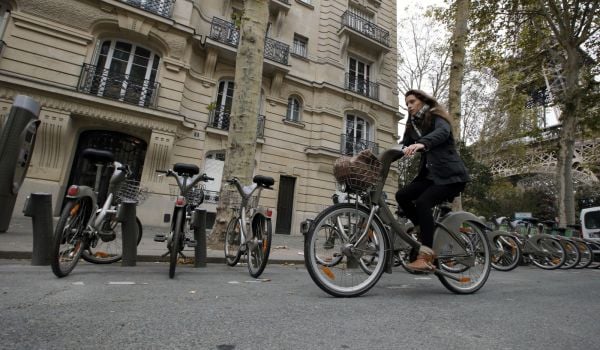
Members of Capital Bikeshare in Washington, D.C., tend to take short, quick trips on direct routes, while casual riders borrowing the bikes for just a day or two tend to take longer, more meandering rides, according to analysis done recently on District Department of Transportation data.
Those findings may not be shocking, but such information is good to add into the mix when measuring bike-share’s impact. Capital Bikeshare, like many other U.S. systems, collects data on trip duration and starting and ending stations, but not on the exact routes being traveled. Previous studies, like this one of New York’s Citi Bike, have had to operate on the assumption that cyclists follow Google Maps directions and often omitted trips with the same start and end station. Knowing where riders really are is a valuable tool in figuring out where to site new stations or create new bike lanes.
The District’s DOT outfitted 130 Capital Bikeshare bikes last spring with GPS devices, and Jon Wergin, a master’s degree candidate in urban and regional planning at Virginia Tech, analyzed that data for his capstone project. He published some of his findings this week.
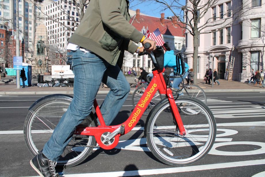
The differences he observed between how member riders (the system’s annual memberships cost $85) and casual riders used the system were significant. In this oddly hypnotic video that condenses all of the tracked trips into one day, red trails indicate a bike being used by a member, and a blue trail a casual day rider. Even in this simple visualization, the differences are clear: Members are zipping station to station, whereas casual riders are taking in the views.
The data show that the average casual users’ trip was nearly twice as long in distance as a member’s trip, nearly three times as long in duration, and on average nearly half as fast. A heat map of casual usership shows that their activity generally follows the shape of the National Mall. The sidewalks within the Mall and the roads that border it are among the most popular road segments for casual riders in the city. D.C.’s Georgetown neighborhood, and nearby Arlington National Cemetery and Crystal City in Virginia, are also popular destinations.
Members, on the other hand, tended to avoid the Mall and spend more time in the Dupont Circle and Logan Circle neighborhoods. The data also show a large percentage of users commuting from Arlington and Alexandria into the city. Members’ most popular segments were 14th, 15th, 18th and R Streets NW, Pennsylvania Avenue in front of the White House, and the Key Bridge, which links Georgetown and Arlington.
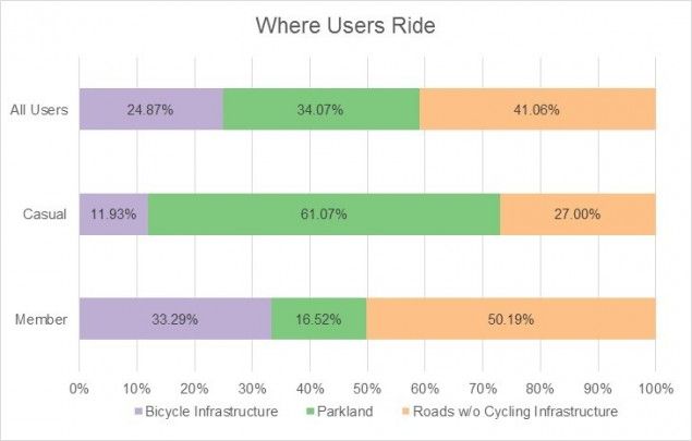
Wergin also analyzed the nature of those roads and paths to determine what cycling infrastructure, if any, members and casual riders were using. To calculate that, he broke out all the tracked miles ridden into three different surfaces: roads with bicycle infrastructure, roads without, and roads and paths in land managed by the National Park Service, including the National Mall.
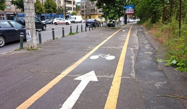
According to GIS data, only 10.5 percent of D.C.’s total bikeable roadway mileage outside of parks has infrastructure like bike lanes. But 25 percent of miles ridden by the users in the study took place on bike infrastructure, “indicating that users seek it out,” writes Wergin. When the low-traffic roads and trails in NPS land are included, that number jumps to 59 percent. That means only 41 percent of Capital Bikeshare miles are ridden on streets without any cycling infrastructure.
(Credit: Jon Wergin)
Since members rely more on bike infrastructure but still ride half the time on roads without it, Wergin also looked for the most-traversed segments of road that could be good candidates for bike lanes. M Street and Pennsylvania Avenue NW in Georgetown, and Louisiana Avenue NW and Massachusetts Avenue NE near Union Station emerged as among the most traveled and least protected. Wergin suggests high ridership here can be attributed to the fact that these segments are actually gaps between where a bike lane ends and then picks up again farther on. All of those segments are slated to receive additional infrastructure under the city’s Multimodal Long-Range Transportation Plan.
Wergin also analyzed where riders are busting out their kickstands or leaning bikes against trees to take in the views. By creating a density map of places where casual riders registered a speed of zero, he demonstrates that, unsurprisingly, most of inactivity takes place on the National Mall. Many of the Mall’s most popular attractions — like the Lincoln and Jefferson memorials — are also some of the system’s most popular stations. But his density map suggests some attractions that could benefit from a station. The National World War II Memorial, where the majority of casual stops take place, only got a station last week. The White House and Washington Monument are scheduled to get them this year.
The Works is made possible with the support of the Surdna Foundation.
Jen Kinney is a freelance writer and documentary photographer. Her work has also appeared in Philadelphia Magazine, High Country News online, and the Anchorage Press. She is currently a student of radio production at the Salt Institute of Documentary Studies. See her work at jakinney.com.
Follow Jen .(JavaScript must be enabled to view this email address)

_600_350_80_s_c1.jpg)