The recent release of Apple’s severely flawed iOS 6 Maps application has led to disdain and mockery across the Internet, amid shock that the usually forward-thinking company released such a low-grade navigation tool rather than maintaining its relationship with the well-developed Google Maps application. The Apple Maps app has led many users to avoid the system upgrade, and others to report flawed directions. For example, Manoush Zomorodi of WNYC tweeted, “Apple maps doesn’t know difference between Broadway and W. Broadway. So obviously not a #newyorker.”
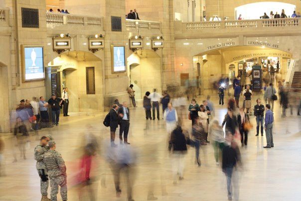
The issue with Apple’s Maps app is not a software design, but rather a lack of understanding about the importance of accurate, intuitive tools to urban mobility. Nearly half of all urban dwellers own smartphones, according to the Pew Internet and American Life Project, and Apple has essentially provided an unusable piece of software for this market. New Yorkers, and residents of all major cities, thrive on the flexibility of mobility, hopping seamlessly between subway, buses, taxis, bicycles and feet, much of it powered by the information in their smartphones about schedules, stop locations, safest routes and calories burned.
Information and transportation are so intricately intertwined that smartphones and other technologies have reshaped how urban dwellers get around in cities all over the world. In fact, two of the most important transportation innovations of the last five years have been the opening of data and the use of social media tools for service updates.
Open transportation data, now provided by more than 500 U.S. cities, has led to a large, powerful sub-economy of third-party applications (an estimated half-million app downloads have come from the New York MTA’s data alone), while social media and third-party websites have become the primary means of communicating with transit customers (the airline JetBlue has 20 Twitter followers per weekday passenger, according to forthcoming NYU Rudin Center research). This constant access to reliable information is what urbanites crave, and is essential for their efficiency (choosing the best route), flexibility (changing modes as needed) and safety (avoiding high-crime areas) as they navigate the city.
More than 32,000 apps are in the “travel” category in the Apple App store, and nearly 10,000 apps are in “navigation.” Of the top 20 navigation apps, six are transit-exclusive and nearly all are focused on urban exploration.
The most important app for urban smartphone users, however, is currently in development: The OpenTripPlanner Mobile, a creation by OpenPlans, funded by 838 backers on Kickstarter and developed using open-source tools and crowdsourced data. This app shows that the crowds will step in where the public and private sectors have left off, fulfilling the need for information in transportation by creating both the data and the applications that use it.
As transportation information needs may continue to fall into the hands of the public, they will be ever-further honed for city dwellers. These tools will render software from Apple and other tech companies irrelevant for urban navigation, instead heralding a new era, where these responsibilities are fulfilled by the public, which will both generate and use the data every day.
Sarah M. Kaufman is a research associate at the NYU Rudin Center for Transportation.